West Coast Vancouver Island South Marine Forecast
| Winds... Wind Northwest 10 To 20 Knots Becoming Northwest 15 To 25 Wednesday Afternoon. |
| Waves... Seas 3 Metres Subsiding To 2 This Evening. |
| Skies... Tonight, A Few Clouds. Wednesday, Mainly Sunny. |
| Thursday...Wind Northwest 15 To 25 Knots Becoming Easterly 10 To 20 In The Morning Then Becoming Northwest 10 To 20 In The Afternoon. |
| Friday...Wind Variable 10 To 20 Knots Increasing To Northwest 20 To 30. |
| Saturday...Wind Northwest 25 To 35 Knots. |
Marine Weather Statement For The Pacific Waters
Issued By Environment Canada 3:51pm PDT Tuesday 7 May 2024.
A Pacific Frontal System Will Move Across Bowie Early This Evening And Then The North Coast Overnight. Southerly Gales Developed Over Bowie This Afternoon Will Spread Across Northern Waters This Evening. Winds Will Ease To Moderate To Strong Southwest In The Wake Of The Frontal System.
A Building Ridge Of High Pressure Over The Central Coast Will Bring Marginal Gale Force Inflow Winds Over East Entrance Of Juan De Fuca Strait This Evening.
Technical Marine Synopsis For The Pacific Waters
Issued By Environment Canada 4:00pm PDT Tuesday 7 May 2024
For Tonight And Wednesday. The Next Scheduled Synopsis Will Be Issued At 9:30pm PDT.
Systems Position. At 4:00pm PDT Today Ridge Located On A Line North-South Over The Central Coast. By 4:00am PDT Wednesday Ridge Located On A Line North-South Over Northern Vancouver Island.
At 4:00pm PDT Today Frontal System Located West Of Bowie. By 4:00am PDT Wednesday Departing Frontal System Located Over The North Coast.
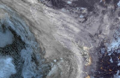 Pacific Satellite