Browns Bank Offshore Forecast
| Winds... Wind Variable 10 To 15 Knots Increasing To Northeast 25 Early This Evening And To Northwesterly 35 Near Midnight. Wind Diminishing To Northwest 25 Monday Evening. |
| Waves... Seas 1 To 2 Metres Building To 3 To 4 Late Overnight. |
| Skies... Periods Of Rain Changing To Flurries Monday Morning. Visibility 1 Mile Or Less In Flurries. |
| Tuesday...Wind Northwest 25 Knots Diminishing To West 15 In The Afternoon. |
| Wednesday...Wind Southwest 25 Knots. |
| Thursday...Wind Northwest 30 Knots Diminishing To South 20. |
Marine Weather Statement For The Maritimes
Issued By Environment Canada 3:05pm AST Sunday 14 December 2025.
An Intensifying Low Pressure System Will Approach The Marine District This Evening And Move To Lie Over Sable Island Overnight And Over Southeastern Newfoundland Monday Afternoon. Gale To Possibly Storm Force Southwest Winds Over The Southern Slope Waters Tonight Will Shift To Gale To Storm Force Northwesterlies Behind The Low.
Marine Interests Are Advised That Storm Warnings Are In Effect For Banquereau And Cabot Strait. Gale Warnings Are In Effect For All Remaining Waters Except Fundy And Grand Manan.
Freezing Spray Warnings Are In Effect For Fundy, Grand Manan, Northumberland Strait, Gulf - Magdalen, Chaleur - Miscou, And Anticosti.
Technical Marine Synopsis For The Maritimes
Issued By Environment Canada 3:30pm AST Sunday 14 December 2025 For Tonight And Monday. The Next Scheduled Synopsis Will Be Issued At 8:00pm AST.
Systems Position. At 3:30pm AST Today Intensifying Low 1002 Mb Located Southwest Of Georges Bank. By 3:00am AST Monday Low 988 Mb Located Near Sable Island.
At 3:30pm AST Monday Low 965 Mb Located Over Southeastern Newfoundland.
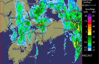 Halifax Radar
 Atlantic Satellite